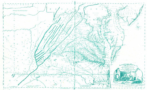
Fry and Jefferson
London, 1751

This map was first prepared in 1751 by Joshua Fry and Peter Jefferson. Joshua Fry was a former professor of mathematics at Oxford and William & Mary. Peter Jefferson was Thomas Jefferson's father. They worked together on various surveying projects before preparing this map - the property limits of Lord Fairfax, the Northern Neck, and the boundary between Virginia and North Carolina. The Anthony Smith Chart of the Chesapeake was based on this map.
