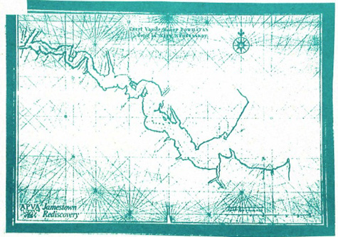
Vingboons Chart of the James River
Amsterdam, 1619

This nautical chart was prepared from material collected by various Dutch ships that were exploring the James River to develop the tobacco trade. The cartographer who assembled this information was named Johannes Vingboons. It certainly indicates a great deal of accuracy. In fact, this is the best map of the James River until the U.S. Coastal Survey work done in the 1860's.
