StormSense FAQ's
What is StormSense?
StormSense formed as a collaborative initiative between multiple coastal cities and the Virginia Institute of Marine Science (VIMS) to address flooding issues through proliferation of low cost, low energy water level sensors, and modeling research across the City of Virginia Beach and the Hampton Roads Region. In pursuit of regionally enhancing emergency preparedness for inundation-related threats, StormSense has installed more than 40 water level sensors through cooperative agreements with municipal governments throughout Hampton Roads, Virginia, USA. The system also ingests data from 25 more sensors outside its network from NOAA and USGS to provide a more comprehensive at-a-glance view of real-time flood conditions in Tidewater Virginia. You can view real-time sensor measurements along with past data records via the StormSense Map here.
View Full Screen Map in New Window
Why does it exist?
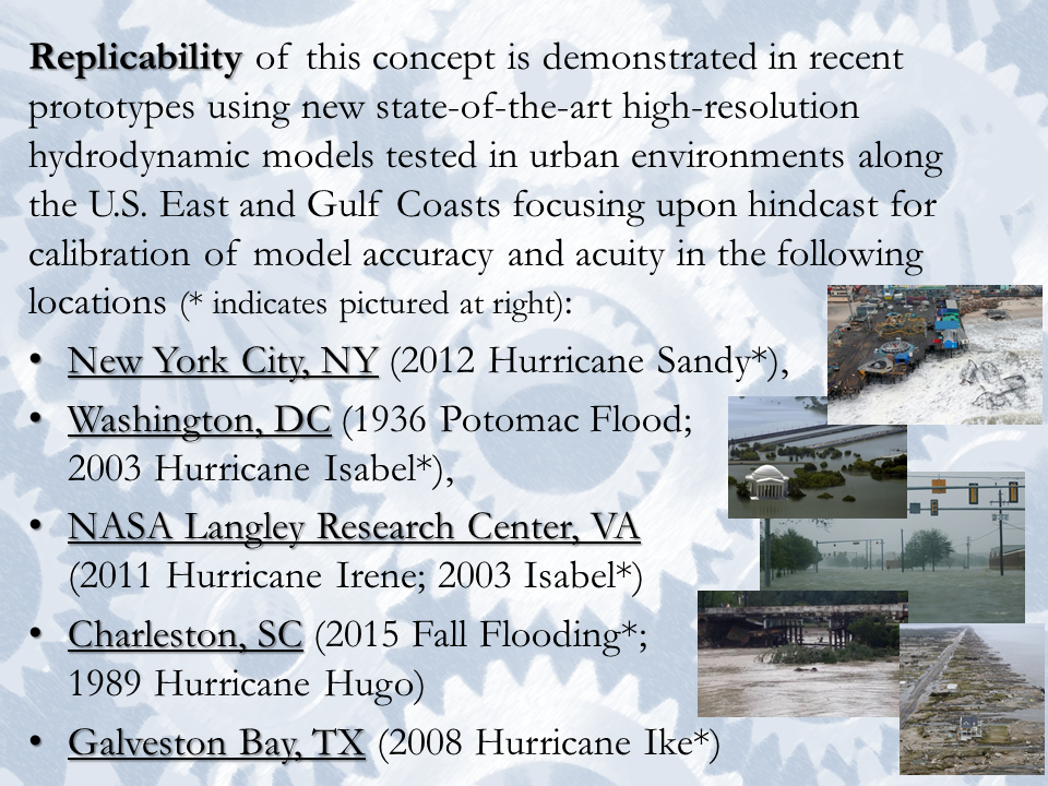
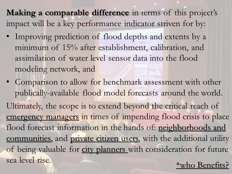
The purpose of StormSense is to proliferate low-cost, low-energy water level sensors to enhance the capability of communities to prepare and respond to the disastrous impacts of sea level rise and coastal flooding in ways that are replicable, scalable, measurable, and make a comparable difference. Each of these bolded project components function as key performance indicators of the relative success of this flooding resiliency solution.
 |
 |
 |
 |
Click on a core component of the project to learn more.
In pursuit of this, the project works to enhance emergency preparedness for inundation-related threats by advancing research to help better predict flooding resulting from storm surge, rain, and tides.
How do you measure StormSense's Success?
StormSense is a water level monitoring and alerting network, so naturally its results can be most easily quantitatively defined by cost savings through:
- Disasters it effectively alerts and averts through expediently informing emergency managers’ actions in real-time, and
- Measurable benefits to citizens through savings on flood insurance premiums within the NFIP.
Additionally, StormSense’s results may also be qualitatively accounted for by its relative accolades and success stories as it shares its measurable successes to make a difference in similarly flood-beleaguered coastal communities around the world.
Quantitatively speaking, ten water level sensors were installed in Virginia Beach in early 2016 by the USGS for ~$38,000/sensor. Later, 2016 Hurricane Matthew caused approximately $8.8 million in damages resulting from heavy rainfall in one neighborhood, yet without the new sensors and the recent stormwater drainage improvements they advised, it could have been much worse. However, it is important to note that sensors themselves do not save money or lives. Education of flood risk management for our citizens and proactive mitigation advised by sensors and models do.
In 2020, Virginia Beach upgraded from a Class 8 to a Class 7 community in the NFIP, which afforded its citizens a cost savings of an additional 5% on over $13.2 million in annual insurance premiums paid across the 23,667 policies held in the City. Automated inundation alert systems like StormSense help increase a community’s flood resiliency within the NFIP and commensurately impact a community's rating in the NFIP and could have wider implications in the future beyond Virginia Beach to include 5% (or more) all of coastal Virginia’s $80 million in annual insurance premiums.
Qualitatively, in 2020, StormSense now represents 60% of the Hampton Roads region’s water level sensors, and the project has received national and international acclaim for its highly replicable and scalable rapid flood monitoring solution and automated alerting protocols when flooding exceeds pre-established critical thresholds by leveraging affordable cellular broadband technologies.
