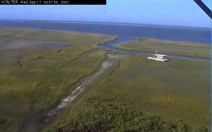
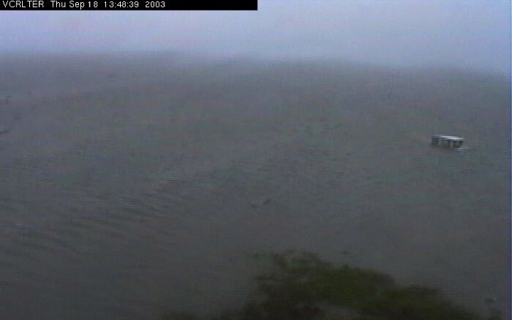
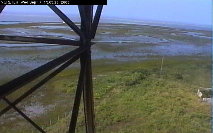
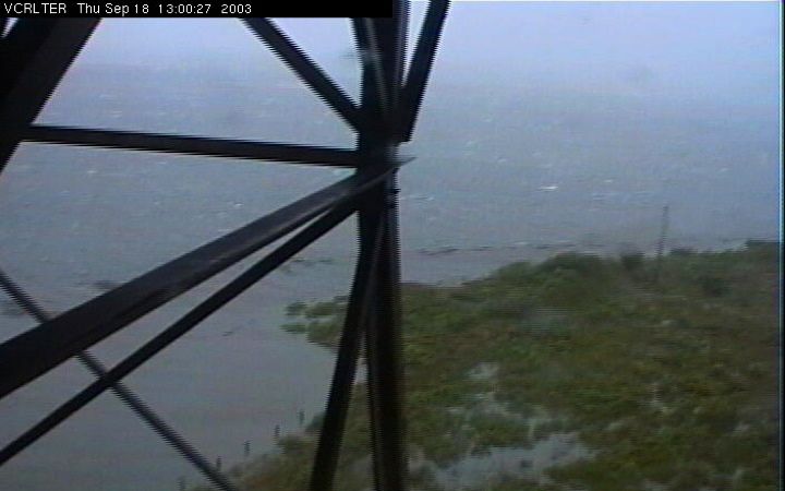
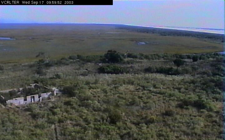
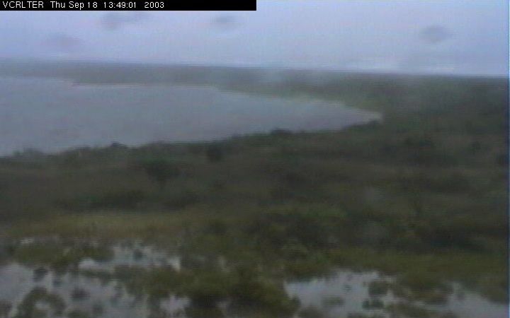
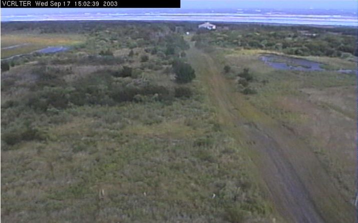
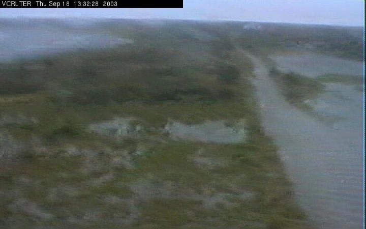
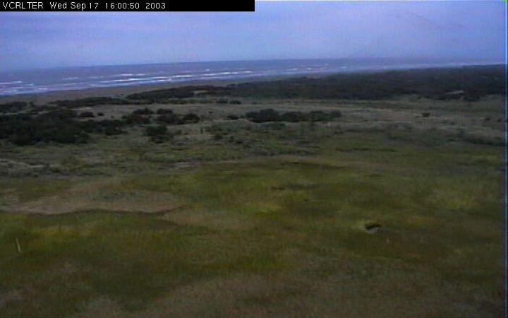
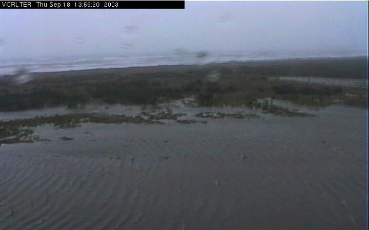
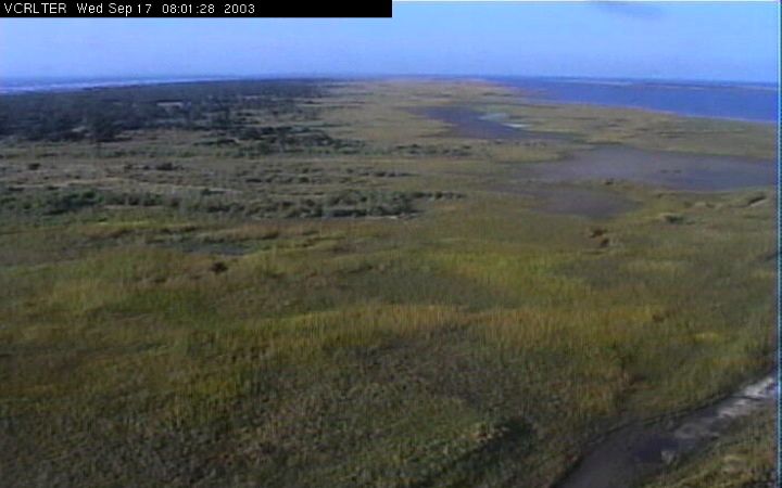
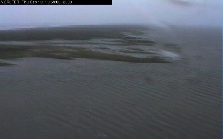
Hurricane Isabel at Hog Island
These before and after images from Hog Island on Virginia's Eastern Shore—one component of the Virginia Coast Reserve/Long-Term Ecological Research Program—show coastal inundation due to the passage of Hurricane Isabel on September 18.
North View
![before](../../_images/isabel_hog_island/north_before.jpg)
![after](../../_images/isabel_hog_island/north_during.jpg)
Northeast View
![before](../../_images/isabel_hog_island/northeast_before.jpg)
![after](../../_images/isabel_hog_island/northeast_during.jpg)
East View
![before](../../_images/isabel_hog_island/east_before.jpg)
![after](../../_images/isabel_hog_island/east_during.jpg)
South View
![before](../../_images/isabel_hog_island/south_before.jpg)
![after](../../_images/isabel_hog_island/south_during.jpg)
Southwest View
![before](../../_images/isabel_hog_island/southwest_before.jpg)
![after](../../_images/isabel_hog_island/southwest_during.jpg)
West View
![before](../../_images/isabel_hog_island/west_before.jpg)
![after](../../_images/isabel_hog_island/west_during.jpg)